BOW VALLEY – Environment Canada issued a winter storm watch for Canmore, the MD of Bighorn and Kananaskis Country on Wednesday afternoon (March 11).
According to the winter storm watch, issued at 3:17 p.m., an upcoming winter storm is expected to bring reduced visibility as a result of blowing and heavy falling snow to much of southern Alberta beginning Thursday evening (March 12) and lasting until Saturday (March 14).
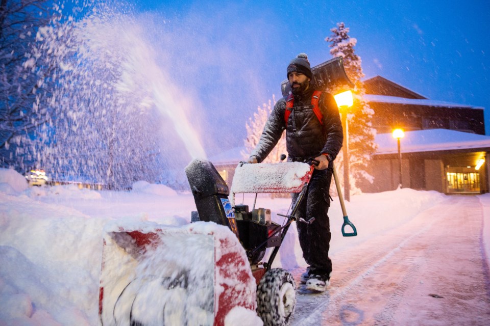
Highways, roads, walkways and parking lots may become more difficult to navigate due to accumulation of snow, as well as blowing snow conditions.
"Unseasonably cold temperatures will settle in over the province in the wake of the storm, beginning Friday (March 13)," stated the winter storm watch. "Temperatures are expected to remain colder than normal until early next week."
The forecast for Canmore on Friday currently has a high of -15 C and low of -24 C. For Saturday, the forecast is for a high of -21 C and low of -26C.
Cardston, Crowsnest Pass, Pincher Creek, Lethbridge and Taber are all currently under a winter squall warning in addition to a winter storm watch.
The winter storm watch was also issued for Brooks, Okotoks, Medicine Hat, Strathmore, Vulcan, Cypress Hills Provincial Park, and High River.
For up to date weather conditions, go to Environment Canada's page for public weather alerts for Alberta. For up-to-date road conditions check 511 Alberta and DriveBC websites.


