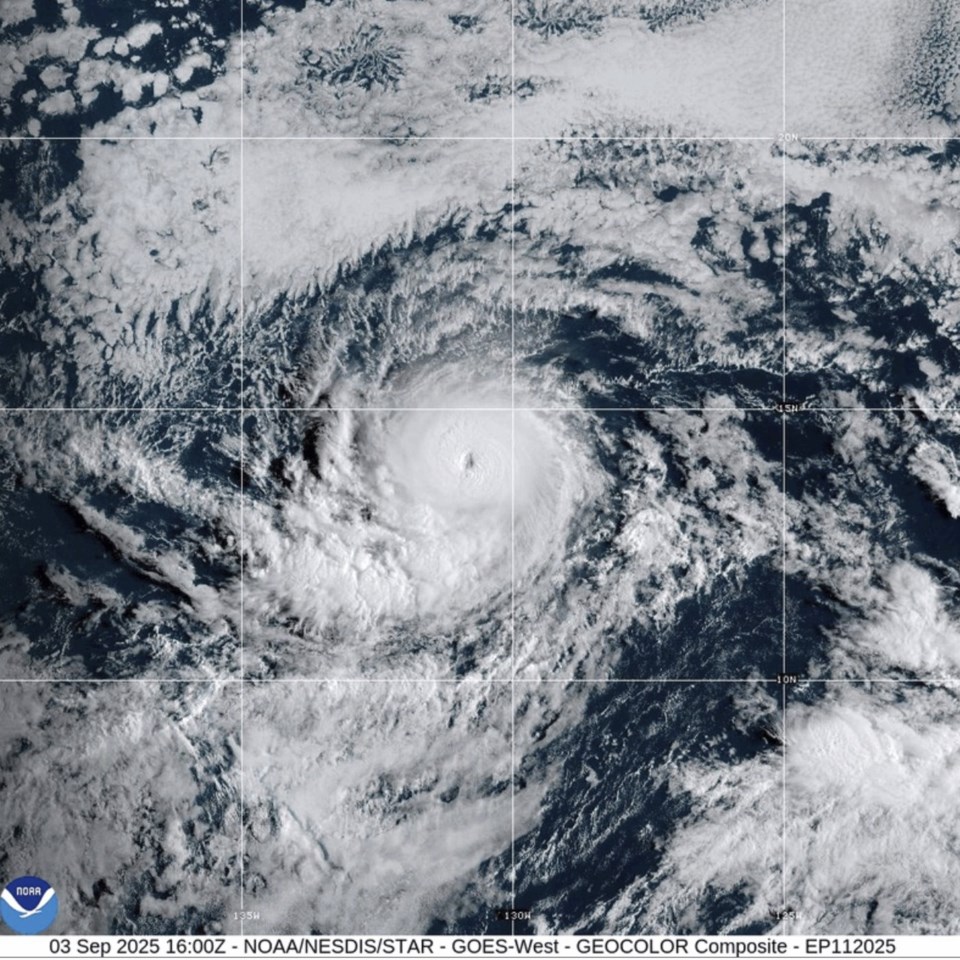
MIAMI (AP) — Hurricane Kiko intensified into a major hurricane in the Pacific Ocean on Wednesday at the same time Hurricane Lorena geared up to lash the coast of Mexico's Baja California.
Kiko surged to Category 4 on the Saffir-Simpson Hurricane Wind Scale with maximum sustained winds of 130 mph (215 kph), according to the Miami-based National Hurricane Center. It was centered about 1,600 miles (2,580 kilometers) east of Hilo, Hawaii, and was traveling west at 9 mph (15 kph).
The wind scale ranges from 1 to 5, with hurricane categories 3 and above considered major hurricanes.
Forecasters said Kiko could get even stronger in the next day or so, but that its intensity was likely to fluctuate after that.
There were no watches or warnings associated with Kiko and no hazards affecting land.
Meanwhile, Lorena was a Category 1 hurricane with maximum sustained winds at 80 mph (130 kph), the hurricane center said. It was expected to continue strengthening through the evening, and forecasters urged people on the Baja California peninsula and in northwestern Mexico to monitor the storm's progress.
Lorena was centered about 160 miles (225 kilometers) west of Cabo San Lucas, Mexico, and traveling northwest at 15 mph (24 kph).
The forecast said rainfall totals could reach 15 inches (38 centimeters) in some places, and flash flooding and mudslides were possible. Ocean swells generated by Lorena could cause life-threatening rip currents in coastal areas.
Tropical storm warnings and watches were in effect for much of Baja California and parts of northwestern Mexico. On the forecast track, the center of Lorena could move over land on Friday. Lorena also was expected to weaken Thursday and be a tropical storm on Friday as it nears land.
The Associated Press


