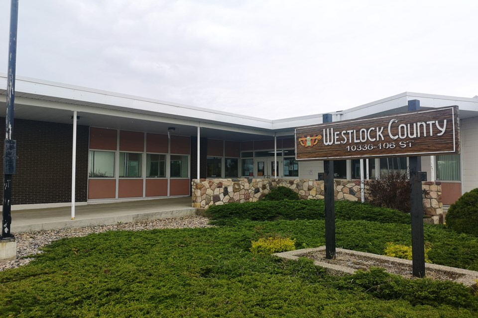
WESTLOCK — Westlock County councillors decided to extend the flood hazard area development advisory committee’s term to Dec. 31 since the six members haven’t met during the COVID-19 quarantine.
Although their last meeting was Feb. 26, deputy reeve Brian Coleman—who sits on the advisory committee—told council June 28 that progress has been made.
In February, the committee went ahead with LiDAR (Light Detection and Ranging) mapping on two properties in the county to create a digital elevation model—the cost wouldn’t exceed $500 per quarter. One of the properties included was the Bethel Bible Camp.
“They had that all surveyed, so we were actually able to take his survey and compare the LiDAR mapping with the survey to sort of check the accuracy and it was amazing how good it was,” said Coleman about the potential of LiDAR to properly display a property’s elevation.
This was given as an alternative to much more expensive GIS studies of the river and its banks, that could range from $55,000 to $500,000, depending on level of detail—the cheaper the study, the more conservative the results and the ensuing map that establishes flood hazard areas.
For reeve Lou Hall, however, these progress reports should be presented to council regularly, included in director of planning Laurie Strutt’s report.
“The last I heard, there was going to be LiDAR mapping done and I don't know if it was ever done or what's happened to it,” said Hall.
The committee began meeting in December 2019, as a result of a long campaign from county residents to reevaluate the county’s development policies around the Pembina River.
When Terry and Roseanna Sheehan first brought the issue to council in 2019, they were trying to build a barn adjacent to their home, which falls under an area determined by the county as a flood hazard area. But a very restrictive set of development policies—which included existing homesteads—would’ve had them spend upwards of $50,000 on land studies to determine river bank stability, elevation and other engineering.
At the time, they—along with a large portion of other river-adjacent county residents—claimed the map that identifies flood hazards and is used to delineate where the development policies in the overlay apply is not accurate.
Since the Sheehans first brought this up, the county has made some changes to the Municipal Development Plan, eliminating the flood hazard overlay and moving it—with some exemptions made for agricultural structures—to the land use bylaw.
The issue of the flood hazard map, however, wasn’t solved by the policy updates, and the county is still searching for avenues to provide a more accurate picture of flood danger in the area, without asking residents to conduct expensive engineering on their properties prior to building.
The advisory committee was set up precisely for that task, and includes council members, and residents within and outside of the flood hazard area.
Originally, they were meant to present their findings to council by June 30, but with meetings postponed by the pandemic, their term extension means there’s still a chance for the flood hazard map to suffer modifications.
Currently, there are few avenues for the county to obtain support from the provincial government for a river study. In January, Alberta Environment and Parks—which runs a flood hazard identification program—confirmed the Pembina River was not on its list of planned studies.


