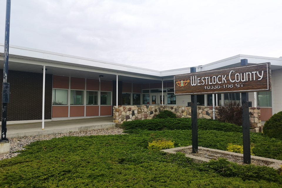
WESTLOCK — There’s an option to create a new flood hazard map for the Pembina River that Westlock County will be considering at an upcoming council meeting.
During a Flood Hazard Area Development Advisory Committee meeting July 22, members analyzed a proposal from MRF GeoSystems to use LiDAR technology and replace the current map with an updated, data-driven one.
The current map that’s being used to delineate flood hazard areas around the river is based on photographs of the 1986 flood. In turn, the borders identified on the current map influence development requirements and building permits in what’s called a flood hazard overlay portion of the land use bylaws.
Both the map and the ensuing policies came under fire in 2019 when owners of the Sunnie Valley Farms tried to build a shop on their property—which falls under the flood hazard as it’s currently identified—but were asked to submit extensive engineering data about river bank stability (among others) to get a permit.
While the overlay policies suffered some modifications—e.g. exceptions for farm accessory buildings—the map remained the same.
The committee’s goal since the inception has been to figure out means of getting a new map drawn up for the area. There are significant disadvantages to the county in this process, including the lack of funding for a project like this, and the very steep price tags attached to most studies.
One recommendation is to use low resolution LiDAR technology—the full complement would be too pricey of an alternative—to redefine the boundaries of the flood hazard area.
“If we wanted more detail from (a) person, we could get that on-demand and ask them to pay that portion to us,” director of planning and community services Laurie Strutt said.
MRF determines that high-resolution LiDAR can be used on residential areas.
This would cost the county a little over $16,000.
They’ve done LiDAR mapping on two properties within the county already—one was the Bethel Bible Camp, which is located right on the banks of the Pembina, west of the Town of Westlock. In that process, deputy reeve Brian Coleman noted the elevation comparison was useful to see.
The other thing they have, said Jing Wang, GIS operations manager with MRF, is use the 1986 flood documents again to redefine the flood areas—this option is $5,500. Although the current map is also based on those photographs, it wasn’t when TC Staff inquired in 2019 who created the map and how.
But committee members also worried about topography, and whether this is taken into consideration with LiDAR mapping for the final flood hazard areas. As one member pointed out, some areas don’t flood purely because of topography.
The options will both be reviewed by Westlock County council at an upcoming meeting. The next scheduled regular meeting is scheduled for August 11.
At this point, it’s only the map that the county—via this committee—is working on changing. It’s not clear whether the policies in the overlay will change at all.


