WESTLOCK — Environment Canada says precipitation levels are likely to continue through the summer in Westlock and surrounding areas.
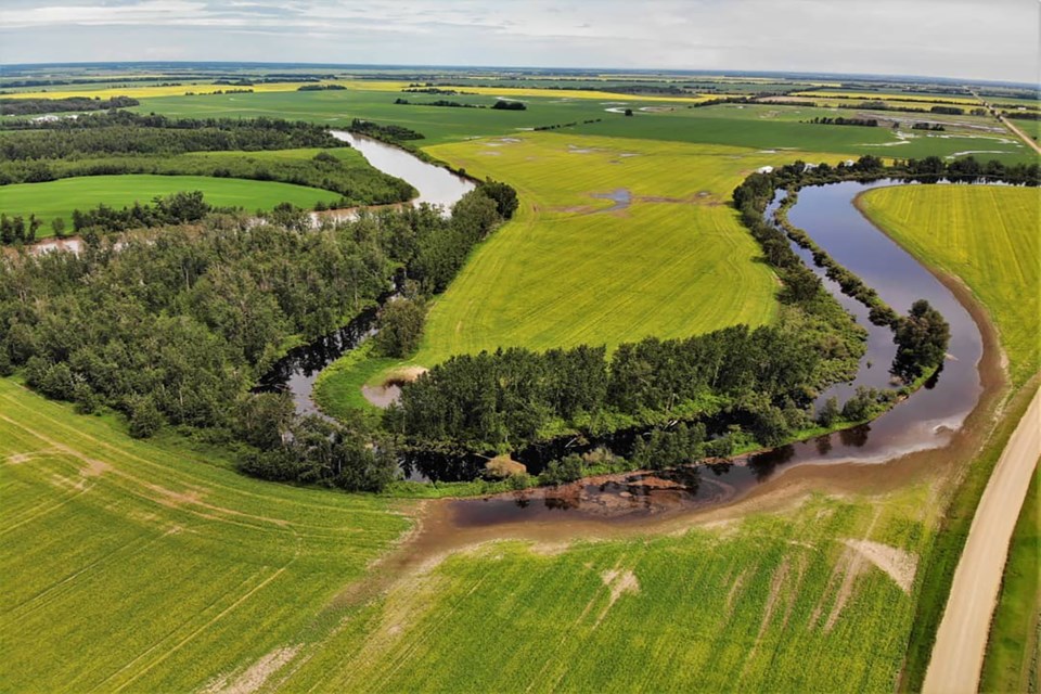
In the month of June, the weather station in Dapp recorded 125 millimeters of rain, a lot more than the historical average of 77.5 milimetres—the latter is recorded at the Edmonton climate station, where Environment Canada keeps data for 30-year climate normals.
Blaine Lowry, warning preparedness meteorologist with Environment Canada, explained that this is about 115-150 per cent of normal. In Athabasca, however, the quantities reported are much higher than usual—150 to 200 per cent of normal.
"There's some indications that this wet pattern is going to continue. We've actually had a fairly wet start to July already,” Lowry added.
The Dapp weather station recorded 37 milimeters of rain from July 1-8, and 59 milimeters in Busby for the same time period.
“At the moment, there's no signs of a persistent upper ridge, which is what we look for meteorologically for a stabilizing of weather, it helps reduce the amount of shower and thunderstorm activity that we see. That's how we get the majority of our precipitation through July and August,” said Lowry.
“Without that on the horizon, it's likely that we'll see normal to above normal precipitation continue."
Compared to last spring, however, Lowry did add that these wetter weather patterns are more climatologically normal for Alberta.
"The typical pattern that we see in the spring time in Alberta is an upper trough, so basically the opposite of that upper ridge that I mentioned brings the more stable and warm weather. Climatologically, May and June have an increased likelihood for that upper trough to develop in Alberta.”
He explains the last year’s dry, hot spring, although unusual, had been recurring for the last five to 10 years. It’s only this year that spring at least returned to normal patterns.
“It has brought slightly above average precipitation amounts, but that pattern of upper troughs in Alberta is seasonally normal."
But for the summer, as he said, there’s yet to be an indication that an upper ridge—which brings warm weather—is on the horizon.
As for the temperatures, they’ve been fairly normal when averaged out over a month: for June, Dapp recorded an average daytime high of 19 C, compared to a 20 C normal.
“When you get into July, the average daytime temperatures are more in the 22-24 C. range. That's probably what people will find more normal for summer,” Lowry said.
Except these are averages over the course of a month, meaning that there could be highs and lows throughout the period—they don’t indicate day to day stability.
Forecasting
There is one catch, however, to weather predictability since, as Lowry put it, “monthly and seasonal forecasting is challenging at the best of times.”
When talking about upcoming weather for the course of an entire month, averages aren’t precise indicators of how warm the individual days will be.
“The only way that we can say with any level of confidence that there will be a sustained period of say, four to five days of mainly sunny and warmer conditions is if we see that upper ridge building in the weather models,” said Lowry.
“We're not really going to have any indications of that until a week to ten days out or so."
This is also true of events like thunderstorms and funnel clouds. It’s also what makes forecasting a difficult job, particularly for certain seasons like spring and fall, where these types of events are most common.
They use something called ‘skill’ to measure just how precise these forecasts are. It’s a determinant of the “number of times historically that these seasonal forecasts have been produced, the per cent that they’re correct as to whether temperatures were above or below normal.”
The maps display the percentage correct in colour variations with gray indicating zero to 40 per cent, and rising percentages displayed in order from dark to light blue, green, and into the reds for upwards of 75 per cent correct.
For spring precipitation, northern Alberta appears in gray.
The devil is usually in the details. This time, it’s in the time frames: “as the events draw nearer, the ability to forecast them increases.”


