The Tawatinaw Valley cross-country ski trails are now open for hiking and biking throughout the summer.
The upper cross-country ski area has around 14 kilometres of trails with various loops ranging in difficulty level from the Nice’n Easy loop, which is mostly flat and downhill, to the Moose Loop and Little Secret loops, which feature sharp downhills and uphills. The different trails also range in length from the moderate difficulty Vowel Howel at 3.36 kilometres to the 0.55-kilometre Deer Valley Loop.
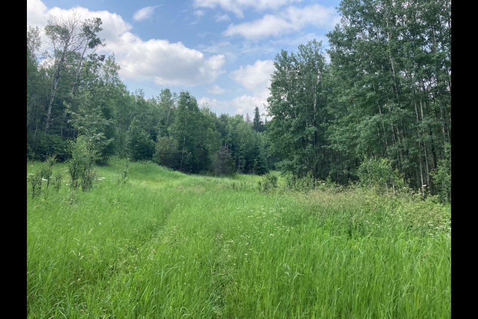
The trails are slightly overgrown, which can make access difficult without a good mountain bike.
The trails will be unmonitored and the ski chalet and downhill trails are also closed for the summer.
People are recommended to abide by trail rules and etiquette which include the prohibition of motorized vehicles, mandatory helmets while biking, yielding right of way to other trail users, using caution while overtaking or passing others, maintaining control of speed, staying on designated trails, not disturbing wildlife or livestock, not entering closed gates, no litter or leaving things behind, respecting private and public property and being prepared for inclement weather, animal encounters and other wilderness hazards.
Tawatinaw is located about 36 kilometres northeast of Westlock, around 3 kilometres down a Highway 2 turnoff on Township Road 614. It is about 23 kilometres north of Clyde and 11 kilometres north of Nestow. The upper cross-country ski trails are accessible at the Tawatinaw Township Road 613A turnoff onto Range Road 240A which leads to the trailhead parking lot.
In case of emergency, the chalet can be reached during their business hours from Friday-Sunday 10 a.m. – 4 p.m. or 911 can be called. There is sporadic cell service throughout the trails.


